
Watch: Pokémon Go players built 30 billion image map
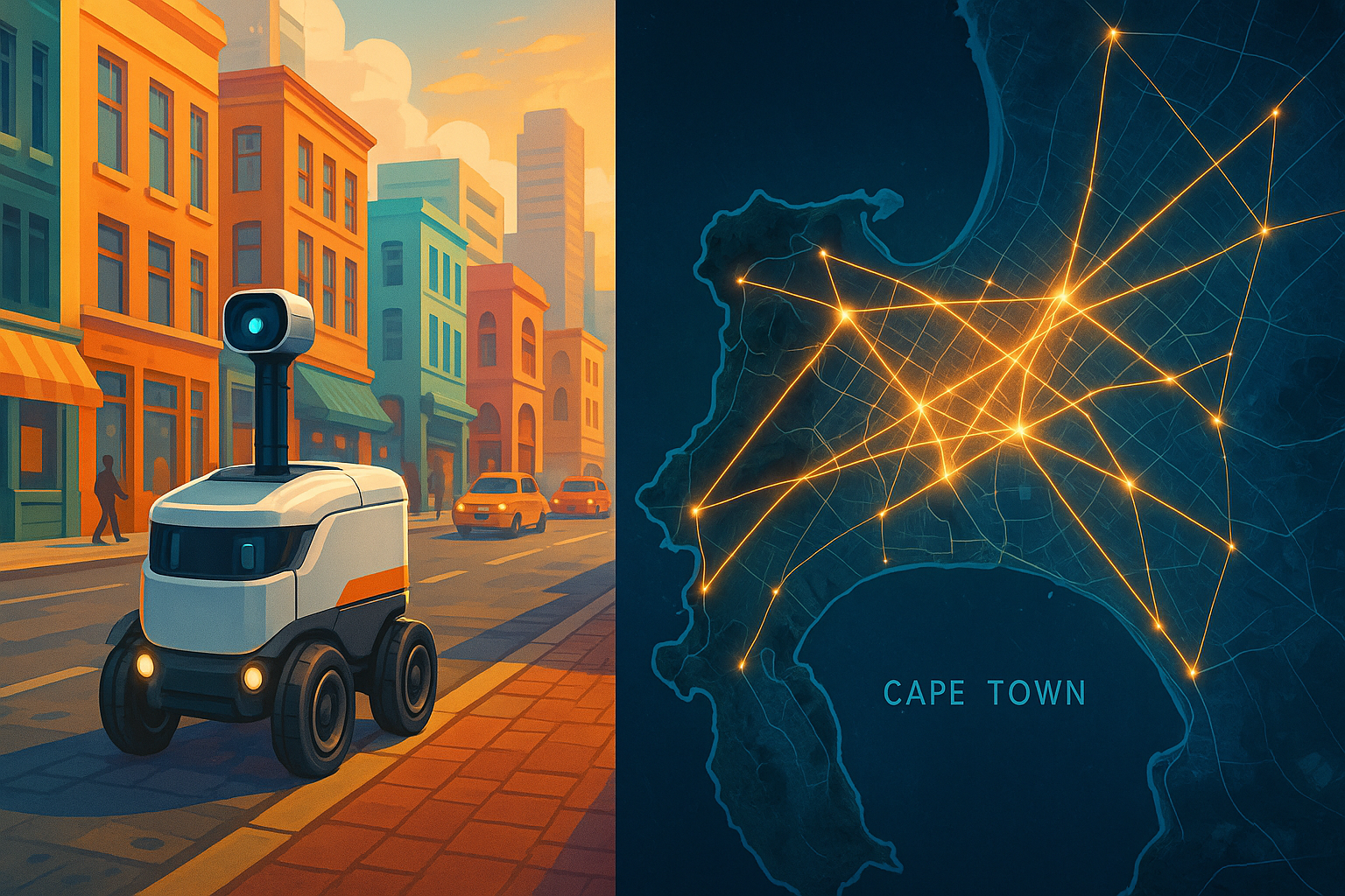
How Pokémon GO in Cape Town created a detailed city map, enabling delivery robots and sparking new urban challenges and opportunities.
Pokémon GO, a popular game, secretly helped build Cape Town's delivery system. Players spinning around for virtual monsters accidentally created a super-accurate city map. This map, filled with billions of photos, now guides delivery robots like Coco Robotics, helping them find their way without relying on tricky GPS. So, chasing imaginary creatures ended up creating a real-life delivery future for the city.
How did Pokémon GO contribute to Cape Town's delivery infrastructure?
Pokémon GO significantly contributed to Cape Town's delivery infrastructure by crowdsourcing a vast photographic dataset of the city. Players' 360-degree spins, even while chasing virtual creatures, created a highly accurate visual map (a "photogrammic cake") with precise location data. This allowed for the development of centimetre-perfect visual localization technology, crucial for autonomous delivery robots like Coco Robotics, overcoming GPS limitations in urban environments.
Get Cape Town news in your inbox
Stay updated with the latest stories from the Mother City.
A Saturday That Looked Like a Festival - But Was Really a Data Harvest
October 2016, Sea Point Promenade: gulls still screamed and waves still smacked the wall, yet every second person stared through a phone, swiping at invisible creatures. Toddlers zig-zagged after electric mice, UCT students sprinted to glue digital lures on a gazebo, pensioners who had never uttered “augmented reality” asked how to spin a ball. The soundtrack of surf was drowned by the tinny victory chime of Pokémon GO. Nobody clocked that each 360° spin - each sunrise over Graaff’s Pool, each sunset behind Clifton bungalows - was pinning the first pixels of a map that would one day steer tyreless couriers to their doorbells.
Inside six weeks the game’s heat-map blazed brighter in Cape Town than anywhere else south of São Paulo. Credit three strands that braided together. Infrastructure: the city’s 4G towers hug the seaboard, so GPS drift was almost zero and spawns landed exactly where the code promised. Culture: Capetonians already treat outdoors as theatre - sunset picnics on Signal Hill, beers on Bakoven boulders - so an AR overlay felt like one more prop. Weather: eight months of cloudless skies gave cameras razor shadows that computer-vision algorithms feast on. When Niantic staged its first local “Pikachu outbreak” in Green Point Park, 18 000 bodies clogged the cycle lane for four hours and MyCiTi buses had to detour. WhatsApp clans with names like “ZARareCandy” traded 03:00 Dragonite screenshots; Uber pilots killed the meter while riders chased Alakazam from Cavendish to Kirstenbosch.
The selfies kept coming. Because tourism marketing has long sold Table-Mountain-backdrop Instagrams, players reflexively spun full-circle to bag the peak behind each catch. By Christmas Eve, Niantic’s buckets held 400 million Cape-only frames - about 120 per paved square metre inside the city bowl. Every file carried five-decimal lat/long, accelerometer tilt, compass bearing, UTC time-stamp. Stacked like bacon slices shot at dawn, noon and dusk, the photos baked into a searchable photogrammic cake.
From Playground Grid to Centimetre-Perfect Lattice
Engineers call the trick “structure-from-motion visual localisation.” Translate: software compares corner-features - lip of a Victorian balcony, bolt on a MyCiTi shelter - against the billion-image vault. Urban canyons can shove GPS ten metres sideways; the lattice trims error to three centimetres sideways, two vertically. The prototype was not brewed in San Francisco but in a windowless room above a bike shop at the River Club. Staff printed QR stickers, slapped them on Roombas and let the vacuums crawl the basement at 02:00. When the bots located themselves faster than the engineers could jog, the team knew it had a product.
First paying client was Coco Robotics, Salt River’s picnic-cooler-on-wheels start-up. The “C-Bot” rises on a telescopic mast to 1.4 m, giving its twin cameras the same eyeline Capetonians used when they snapped Pokémon. On a 2 km test loop - Kloof Street espresso bar to Orange Street res - GPS-only failed 18 % of runs; after the visual map switch, failures fell below 0.3 %. Operations head Nombulelo Mbande says the bot treats the mosaic at 136 Bree Street as a “super-landmark,” good enough to re-calibrate even when a delivery truck murders satellite reception for 200 metres.
And the lattice never sleeps. Each finished drop pushes fresh imagery - today’s election poster, this week’s jacaranda bloom - back to the servers. Computer-vision crews call the loop “living SLAM.” Citizens who once supplied free data chasing Charizard now QA the same map every time a robot trundles past. Town planners quietly gain a digital twin accurate to the flowerpot; within eight weeks Recreation & Parks turned two under-used grass patches - now popular hand-off points - into micro-playgrounds.
Privacy, Profits and the Widening Gap
POPIA kicked in during July 2021, but it was written for flesh-and-blood faces, not brick façades. The Civil Society Information Centre argues that a building’s surface is its “biometric,” letting owners demand erasure. Niantic waves the argument away, insisting the shots are “scene representations,” no different from Street View. A compromise landed: landlords can click “lattice blur” on the city’s open-data portal; 312 luxury guest houses already did, terrified competitors will tally their sun-loungers. The national Information Regulator opened a “market-research” dossier - regulator-speak that can end in fines or fresh codes of conduct.
Money flows split along the N1 fault. In seaboard suburbs, retailers log a 7 % impulse-buy bump since robot hand-offs became sidewalk mini-events. In Philippi, spaza bosses worry aluminium runners will kill their bread-and-milk side-hustles. Coco swears it maps only “density,” yet the rollout footprint overlays the original 2016 Poké-scan - wealthy, well-tagged areas. City Hall floated a “universal delivery levy,” a micro-surcharge on commercial drops to bankroll mapping and retraining for bicycle couriers. Public comment closes soon; unions want the fund to buy new skills, not just cameras.
After dark, the rules change again. City by-laws force Coco to flash an orange beacon and keep a 45 dB hum - quieter than pool pumps but loud enough to scare opportunists. Still, YouTube clips titled “Hijack a C-Bot (for dummies)” rack up views. Thieves tilt the unit to trigger a help-call, then jam LTE with a R200 gizmo from Epping Market. Coco crowdsources guardianship: tap “suspicious activity” in the app and the bot live-streams encrypted video while its cargo bay locks. Stats say 88 % of heists abort once sirens and floodlights erupt; the unlucky 12 % score only gluten-free pizza.
Storm Winds, Underground Labs and the Global Franchise
Cape weather does not read press releases. The southeaster can slap 80 km/h gusts across the promenade, enough to shuffle a 35 kg cooler toward the road. Engineers counter with torque-vector code and a skateboard-flat battery that hugs the ground. Coastal fog is trickier: it strips camera contrast and can shove localisation confidence below the 92 % safety red-line. When that happens the C-Bot drops to walking pace and wakes a millimetre-wave radar dome built for desert drones. The multi-sensor trick mirrors self-driving super-cars - except the ticket price is R28 000, cheaper than a mid-range e-bike.
Universities hover like seagulls. UCT’s African Centre for Cities mashes the lattice against 1950s race-zone maps; early sums show ex-white suburbs enjoy 4.7× more AI fidelity than former homelands, a spectral echo of apartheid survey lines. Stellenbosch robotics sends three-wheeled vineyard scouts to hunt leaf-roll virus without compacting soil. Even the CSIR borrows units to map mine-shaft walls, places where GPS goes to die but a visual lattice could save lives.
Overseas, cities treat Cape Town as a live demo. Singapore’s planners - already confining sidewalk bots to off-peak hours - want anonymised pedestrian-collision logs. Paris, prepping the 2026 Autonomous Logistics Expo, studies how Coco skirts café tables that migrate onto walkways at 17:00. Niantic now franchises the stack: one API call returns latitude, longitude and confidence for USD 0.003. Multiply that by billions of future drop-offs and the revenue line is forecast to beat every Poké-coin ever sold. Analysts have labelled it “Pokémon-as-a-platform,” the first play-to-earn economy whose jackpot arrived years after most trainers deleted the game.
Return to the promenade on any Saturday: lures are dead, but the Wi-Fi nodes installed in 2016 still pulse “@CTFree.” Tourists scan the horizon for Raikou that will never spawn again, while toddlers too young for 2016 collect Coco geocache stickers tucked inside delivery lids - creature-collection reborn as brand loyalty. Palms, balustrades and benches carry two invisible layers: one for fantasy monsters, one for humming coolers bringing tonight’s milk. The city learned to see itself through a game, and now the game delivers dinner.
How did Pokémon GO contribute to Cape Town's delivery infrastructure?
Pokémon GO significantly contributed to Cape Town's delivery infrastructure by crowdsourcing a vast photographic dataset of the city. Players' 360-degree spins, even while chasing virtual creatures, created a highly accurate visual map (a "photogrammic cake") with precise location data. This allowed for the development of centimeter-perfect visual localization technology, crucial for autonomous delivery robots like Coco Robotics, overcoming GPS limitations in urban environments.
What is "structure-from-motion visual localization" and how does it work?
"Structure-from-motion visual localization" is a technique where software compares unique visual features from real-time camera feeds (like the lip of a Victorian balcony or a bolt on a bus shelter) against a vast database of billions of previously captured images. By identifying and matching these features, the software can determine the precise location of the camera (and thus the robot) with high accuracy, even in urban environments where GPS signals can be unreliable. This method can trim location errors to a few centimeters, significantly improving navigation for autonomous vehicles.
How did geographical and cultural factors in Cape Town make it ideal for this data collection?
Cape Town proved ideal for this data collection due to a unique combination of factors. The city's 4G towers are strategically located along the seaboard, minimizing GPS drift. Culturally, Capetonians embrace outdoor activities and augmented reality felt like a natural extension. Additionally, eight months of consistently clear skies provided optimal lighting for cameras, resulting in sharp shadows that are excellent for computer-vision algorithms. The city's scenic beauty also encouraged players to take 360-degree photos, capturing landmarks like Table Mountain, further enriching the dataset.
How accurate is this visual mapping system compared to traditional GPS?
While urban canyons can cause GPS to be off by as much as ten meters, the visual mapping system developed from Pokémon GO data significantly reduces this error. It achieves an accuracy of three centimeters horizontally and two centimeters vertically. This centimeter-perfect precision is crucial for autonomous delivery robots, ensuring they can navigate complex urban environments reliably and safely.
What are the challenges and privacy concerns associated with this technology?
Challenges include the impact of weather conditions like strong winds and coastal fog, which can affect robot stability and camera visibility. Privacy concerns arose with the implementation of POPIA (Protection of Personal Information Act), as the constant capturing of imagery raises questions about the

Aiden Abrahams is a Cape Town-based journalist who chronicles the city’s shifting political landscape for the Weekend Argus and Daily Maverick. Whether tracking parliamentary debates or tracing the legacy of District Six through his family’s own displacement, he roots every story in the voices that braid the Peninsula’s many cultures. Off deadline you’ll find him pacing the Sea Point promenade, debating Kaapse klopse rhythms with anyone who’ll listen.
View all articles →